Showing posts with label Lacken. Show all posts

20220625

Sorrel Hill revisited

 My last visit was two years ago, so I figured it was fit for another.

22.4 miles bike'n'hike, 818m gain

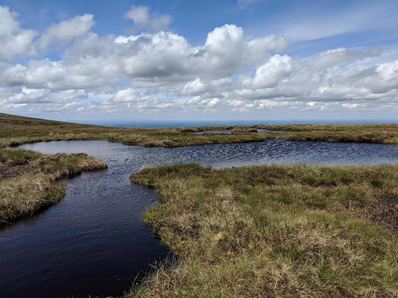
Same as last time, I parked my bike in Lacken, went up the "mass path" and thence to the summit of Sorrel Hill at which point it started to downpour rain mixed with hail and a tidy head wind in my face. It was exceedingly chilly but descend I must and the quicker the better. By the time I had reached the road it had just about stopped.

Some photos...


20201011

Sorrel Hill


My track 22.5 miles part cycle part hike

OpenTopo map

Sunday afternoon again, and mild at 12'C and the mountains were calling again. Or "hills" if you insist. The last time I climbed (hiked) up Sorrel Hill was many years ago and with my daughter S. It was one of those father-daughter times. Our route back then was different from mine today.

So I started by deciding to cycle around the Lake Drive, but stopped at Lacken to inspect the tourist map they have erected and which informed me that just a few yards to the left I would find access to the "MASSPATH", and so I did and, oh my - I have to apologise for maligning Ireland's lack of well maintained footpaths! This end in particular but the whole trail was well maintained. I could not resist such a temptation so I rested my bike against a handy post, removed shoes and helmet and set off. I met perhaps a dozen other people - I think Covid has encouraged folk to get outdoor exercise. There were the usual comments on my lack of shoes, but all very friendly.

If you look closely you might notice the hang-gliders, even a powered one, and a bi-plane


20190703

4 peaks and a couple of birds


Following my recent post I thought you might like to see the four peaks mentioned there, all in a row, viewed from just up the road from us.  And a couple of birds who got in the way. Click on the picture to enlarge it.

BTW - After clicking to enlarge I am able to navigate through the pictures at full resolution by using the cursor left / right keys or by clicking on the small picture icons. One viewer has complained that this does not work for him - is this a general problem?  Feedback please!

20190622

Four peaks and Mullaghcleevaun again

A gorgeous day - could it be summer? - and the hills were calling me again. This time I biked to Ballyknockan (marked "Start" on the map) and hiked from there.  The route encompassed four peaks: Silsean, Moanbane, Mullaghcleevaun and Black Hill, and included my Favourite Place lough Cleevaun, which I entered by its back door. I swam a few strokes in the lough - it was a bit cold and I am not a strong swimmer so am cautious when on my own.

My track

Track statistics indicate just short of 13.5 miles hiking. My "hiking" includes jogging when the conditions are favourable. Elevation gain 1137m with maximum altitude 845m. The biking part was a bit less than 4 miles each way.

The road bit back to my bike was hard work - my legs no longer wished to run and I needed a drink. But the mountain and lake part of the hike was wonderful, idyllic, almost unbelievable. The weather was warm but not too hot, and the hills were alive! Meanwhile some others from the community were at a CrossFit do all day (it was in aid of cancer research). Fair play to them and I hope they enjoyed their day as much as I did. I cannot imagine that they did, mind you, but then that is my perspective.  I prefer having the hills to myself so let the Others do what they will.

These photos have got themselves in reverse order - it was my first time importing directly from Google Photos, I must try harder next time! You can enlarge the pics by clicking on them, then use cursor keys to navigate through the album.

Back to civilisation but my feet didn't want to run any more

Thank you, kind landowner, and yes, I did have
appropriate footwear (none) and clothing (not much)...

Green road and war memorial

The amazing Green Road 

One of many spot the deer photos

Zoomed in

Black hill in the distance, and my way home

West end of lough Cleevaun

The lough from the west end

Shore at east end, a good place to camp

The peat (turf) fields nearby, barefoot runners paradise

Close up of the small pond 

A small shallow pond near the lough

Another view of the sandy shore

Same again (do I love this place?)

Proof that I was there

Waterfalls on the slope of Mullaghcleevaun

From the shore looking west

First sight of lough Cleevaun from its back entrance

Mullaghcleevaun from Moanbane summit

Silsean from Moanbane summit

The small and bottomless pond and Moanbane summit marker

Silsean and the pond in the saddle

Same again - Riche swam here when we took him camping


20181006

In quest of an island

The lake is still very low due to the summer drought, and many new islands have appeared. The lake was made when the Liffy and Kings river valleys were flooded back in 1940, submerging many homesteads one of which has reappeared. RTE news shared these pictures taken from the air by the Garda, but they did not give away their location...


...so of course I wanted to find this island for myself, for does not this lake belong to me?

Helped by a free lift to Blessington, I ran (barefoot) back the long way through Lacken where I took the road down to the school and Boden's well (although I could not find the well) and then followed the lake shore all the way to our bridge (near Valleymount). I didn't have my GPS with me because I was carrying my "proper" camera with zoom in case I should spy the island in question, but I did not.

I met several walkers along the lake shore. One near Lacken, a local, expressed surprise that I intended to go so far - I did not tell I had already run from Blessington!


1. Burgage Castle, Blessington

2. Baltyboys bridge

3. From a newly appeared spit opposite the bridge

4. The aforementioned spit

5. Avon Ri resort

6. Towards river Liffy end of lake from Blessington bridge

7. On the way to Lacken - towards Burgage and the spit

8. The spit zoomed in
My photo No.3 was taken from the left end of the island above - the crossing was only 18" deep and I felt somewhat obliged to explore the island...


Blessington Yacht club from Lacken 

Boden's well thereabouts

towards Blessington near Boden's well

Me

I had to share the lake shore

two granite posts - not far from Lacken

Blessington in the distance

towards Ballyknockan

Jonathan's bay (and me)

Submerged wall by old road from Valleymount to Ballyknocken

I posted recently about the many new islands at the Kings river end of the lake and, given that I could not find the homestead island in the main part of the lake, I checked the images I had posted and I reckon I had already found the island!  Here is a zoomed in version of the picture I posted then:


I reckon my vantage point is at bottom left of the Garda's picture. The tree stumps on the right of my picture are those at top right of the Garda picture. Sadly I cannot locate the farm machinery. Next time I run around the Kings river end of the lake I'll take a camera with zoom with me.