OK, I know this will be boring unless you happen to like barefoot running and happen to be in the area and happen to want a route recommendation. Or maybe I should set up a public database of barefoot friendly footpaths.
 |
| Day 1, about 10 miles |
My first foray on this trip to Devon was to explore some promising looking footpaths I had noted during our previous visit. But they turned out to be not so good - through recently strimmed brambles, fields sown with wheat, and inquisitive cows.
 |
| Day 2, another 10 miles |
After a day's rest, the footpaths in my second foray were very good. The footpath part of the run is shown in the detail below.
 |
| Day 2 detail |
It starts just north of the village of Uplowman (lower left of the map). The name sounds strange until you realise that
Lowman is a river, and Uplowman is located in its upper reaches.
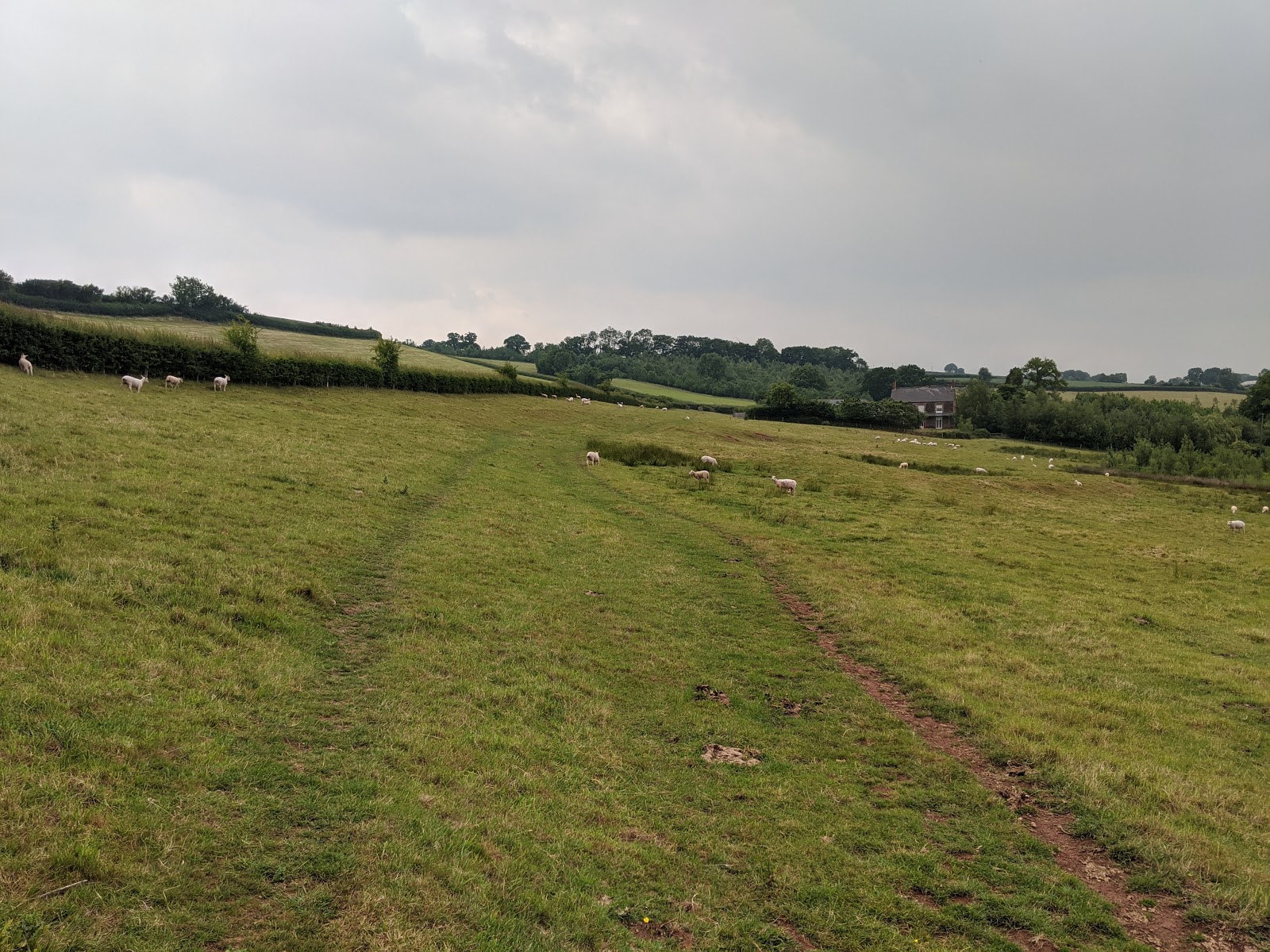
The path follows the river (technically a tributary to the Lowman, and just a brook) valley and is carpeted with soft meadow grass. But about here it started to rain. Running in rain is very pleasurable provided one keeps warm - and I had checked that the forecast was OK in that respect.
By now it was raining steadily and I worried for my Pixel 2, as the plastic bag "sock" I had grabbed wasn't quite long enough to cover its entirety. But it survived. At Murley farm I misread the map a bit (by now it was raining heavily, making it hard to read the map) but soon figured out my mistake.
Here I am looking back at the misty rain-sodden horizon as I climb out of the river valley towards Whitnage farm where again I lost my bearings (by now the rain was sluicing, so that I had to pause in the shelter of a barn to read my map). Those cows were content to leave me be, BTW. I decided to ignore the last planned footpath and get back home a.s.a.p. before dying of hypothermia.
Finally back along the Tiverton Parkway cycle track where I passed the 15:30 up train from Exeter to London Paddington. Thence back home to a shower and cuppa and later an excellent meal of risotto à la Instant Pot thankyou Ali!
Definitely worth repeating, both the meal and the run!