Showing posts with label donard. Show all posts

20200521

Lobawn and Donard

Being, I think, up to date on jobs around the place I thought I would go walk-about, where no man has gone before. At least not this man.


Track statistics: 21.84 miles, elevation gain 1102m, barefoot of course. My average speed was a mere 4.23 mph because I was walking for about half the time. I followed my usual route to the Donard pass, thence to Lobawn, returning via the village of Donard and through Hollywood Glen.

My favourite colour

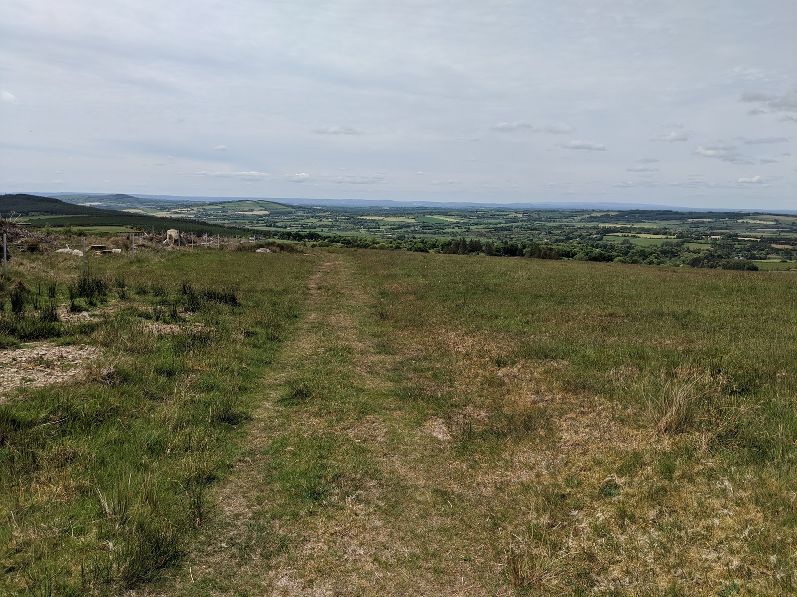
My path, with Lobawn on the horizon centre 

Summit marker: a British army war department granite pillar

How and why a war department granite pillar ended up atop Lobawn I have not yet discovered but it is a kind of friendly touch on finally arriving at the summit. I stood on it to take photos and it wobbled so I figure it can't be planted very deeply.

I can recommend the mountain part of this route - all very barefoot friendly, no long grass where lurk ticks, and glorious weather. At the summit I ate my Cadbury's caramel egg and then lay naked on the warm peat gazing upwards at a mostly blue sky. The descent was glorious too - an easy to follow path that turned into an amazing green road so was able to run most of the way down.

Lugnaquilla, the highest peak in the Wicklows, is alluringly further along this path that joins numerous peaks on the way.

From the summit: the path onwards to Lugnaquilla

From the summit: my path to and from

From the summit: our lake

Descent

The green road

Which turned into a gritty lane

And ended in Donard - I had no money...

Leaving the metropolis

Holywood Glen

May blossom, along St Kevin's way

May blossom always reminds me of my father - his birthday was in the month of May and each year we would wonder if his birthday would come before or after the first blossom. If you look carefully you'll see the iconic statue of Saint Kevin just to the right of the tree.  Click on the image to expand.

20180422

Church Mountain again


14.37 miles, 166m to 544m height

For whatever reason, but mainly because of the wonderful weather and because I could (although I am not so sure about the latter now I am aching afterwards), I started out on what must become the first climb of the year of Church Mountain. It is also a sort of precursor for Lobawn should I ever make it there and back in one piece.  See here for my first barefoot run across Church Mountain.

I discovered a new and improved descent route. It is new because I did not previously know of its existence even though doubtless it had existed, and improved because it is shorter and kinder to bare feet than the alternatives. Since few of my readers will find themselves at the top of Church Mountain wanting a better way of getting down, I present instead a description of how to ascend using this improved method.

Coming from Blessington along the N81 towards Baltinglass, take the first left after the Hollywood crossroads. Refer to my last image below which is an aerial view of this area. After a mile or so this road bears left and then, after the next bear right, enters Hollywood Glen. Immediately on your left is the entrance to a forestry track with the usual one-bar gate. It is possible for a couple of cars to park here without obstructing the gate. Walk up the track a little over 100m to the point where the main track does a hairpin bend to the right, and a lesser track branches off to the left. Just to the right of that lesser track you will see a small stream - which stream is the path you must take. Follow this path for about 200m where it enters a wooded area. The path you want branches to the right (straight on is more open country with gorse bushes).

You now simply continue on this path (crossing another forestry track after a quarter mile or so), going steadily up hill all the while, until you get near to the top of the mountain where you will need to bear left to reach the summit.

Gorse along Goat Man's lane

As with all my blog posts you can click on an image to view it in full resolution, and having done so (in Chrome at least) you can from there navigate through all the images in the post.

Possibly part of Noah's ark, along the way

At the gap, looking towards Donard

The ascent proper - I love this part of the route

Our lake framed - from near the top

From the triangulation pillar, snow on the slopes of Lugnaquilla

Our lake from the triangulation pillar

The church ruins and the way down

Me, on triangulation pillar

Part of the new and improved route down

Which weaves its way through this plantation

And meets another path

Before turning into a stream

Is it a path or is it a stream? Good thing I'm bare foot

Where the spring meets the forestry track

St Kevin's Way near Hollywood

Interesting sign along St Kevin's way!

Interesting because St Kevin's Way is a way-marked public foot-path, admittedly it goes across private land but the instruction "unauthorised entry is prohibited" is a bit rich.  Doubtless it is the usual Irish insurance deal - landowners scared stiff of being sued by stupid members of the public scraping their knee and demanding huge compensation, and the even more stupid members of the legal profession condoning such claims. Indeed, on my ascent I noticed a similar sign at a gate and various others declaring "Private Property: Keep Out" where last year there were none, other than polite requests to please shut the gate. I ignored such signs and prepared myself for confrontation, but all I met were a couple of fellow hikers (though shod) coming from the opposite direction.

Sheep near Hollywood

A big house near the end of my ordeal

Showing the lower reaches of the new improved route

20161231

Las doce uvas de la suerte

It's New Year's eve and tonight there is an extra second which I plan to enjoy in bed fast asleep, whilst others here are doing the Spanish thing of eating 12 grapes las doce uvas de la suerte one a second up to the New Year. Or maybe on this occasion they will need 13 grapes.

This afternoon the intrepid barefoot runner went exploring. Always looking for new routes I figured there were several untried tracks at the top of the pass to Donard so, instead of my usual climb of Church Mountain, I turned left. My track is at the end of the photos below. Stats: 16.96 miles, average speed moving 5.4 mph, max altitude 506m.

The ascent to the pass, looking back north towards Hollywood

Having turned left, looking south towards Donard

Having turned left the track skirted around Corriebracks (an allusive summit I tried to reach before but failed) and down to a saddle where I left the track and struck out downhill cross country - mainly long grass and heather so not so bad under foot - until I reached a forestry track which took me to Corragh (pronounced Crock) where I followed the narrow lane back to the Wicklow Gap road.


In places this track was knee deep in peaty mud

Having just joined the Corragh forestry track

Here (on the right) is where the track meets the single-track road

And this is the single track road in Corragh

Note the grassy bit in the middle of the road especially for barefoot runners. If I had my way all roads would be like this.

Eventually I pass through Valleymount and so over the lake

The whole circuit, just short of 17 miles

Detail showing the new territory hitherto unexplored

Unusually I met several walkers. The first was a die hard hiker who was descending from Donard pass as I ascended. The second was a dog walker from Baltinglass who had, sadly, just lost his golden labrador and asked me to look out for it. Look out I did, but to no avail. The last was a dog walker along the Corragh lane, whose dog was very affectionate.

20150712

Church Mountain

It was a year ago I last climbed Church Mountain. This time I took much the same route by bike, but I found a different path for the final climb on foot (bare of course), starting at a gate just past the summit of the pass.

The gate
The gate led to a well worn path that was relatively easy under barefoot and led all the way to the top. Sometimes grassy underfoot, or boggy peat with rocks in a few places.


The path follows a fence

Looking back

The church ruins from the triangulation pillar

View of our lakes from the top

Home is somewhere near those lakes in the distance...

The view descending to Donard


Honeysuckle on the way home