 |
| My track along the coast: 30.25km, 177m elevation gain |
Gulp... was this really my first proper Foray this year? I blame the weather for my reticence - it has been, and still is, quite cold, and has been windy and wet to boot. I wanted an easy start, hence revisiting a known successful hike on the level to suit my medical condition.
The outward journey was the 65 bus from the bottom of our road to Dublin, thence the Iarnród Éireann service to Rosslare Europort (which route must rank as one of the most scenic rail journeys in the British Isles).
One overnight in the sand dunes (it was predictably but uncomfortably cold during the night). I set off at 6am on the morrow and made it to Kilmore Quay one hour ahead of schedule.
The return journey was a juggle of bus rides: Kilmore Quay to Wexford, then the Express service to Arlow, then the recently changed 183 service to Glendalough and the 895 back to the bottom of our road.
Perhaps I should mention the most excellent fruit scones I purchased in Murphy's Rosslare SuperValu which supplemented my meager rations.
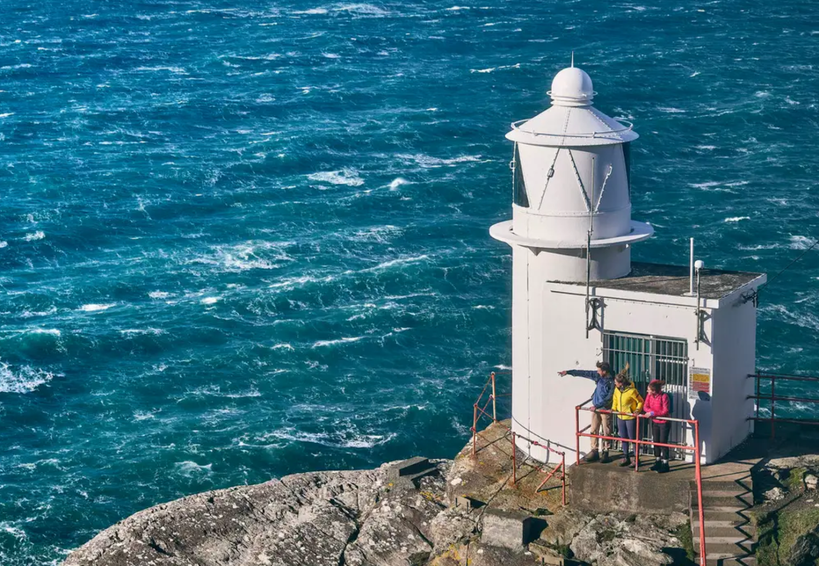
My photos here.
Points of interest
Here is a dissertation on variously spelled Saint Vogue whose playground was Carnsore Point and who apparently sailed on a granite boulder across to France (it returned on its one). Carnsore Point (and here I quote Wikipedia) was the proposed site for Ireland's first nuclear power plant in the late 1960s to 1970s. Following the 1973 oil crisis, plans were intensified to build up to four reactors, but strong public opposition, organized anti-nuclear rallies, and festivals (1978–1981) led to the project's abandonment in 1981. I am so thankful. Instead the area boasts a wind farm which (in comparison) I can live with.
Then there is The Cut where every year they artificially let water drain from Lady's Island Lake, and similarly a bit further on from Tacumsin Lake.
And, nearer to Kilmore Quay, much coastal erosion.


