Showing posts with label lacken green road. Show all posts

20190622

Four peaks and Mullaghcleevaun again

A gorgeous day - could it be summer? - and the hills were calling me again. This time I biked to Ballyknockan (marked "Start" on the map) and hiked from there.  The route encompassed four peaks: Silsean, Moanbane, Mullaghcleevaun and Black Hill, and included my Favourite Place lough Cleevaun, which I entered by its back door. I swam a few strokes in the lough - it was a bit cold and I am not a strong swimmer so am cautious when on my own.

My track

Track statistics indicate just short of 13.5 miles hiking. My "hiking" includes jogging when the conditions are favourable. Elevation gain 1137m with maximum altitude 845m. The biking part was a bit less than 4 miles each way.

The road bit back to my bike was hard work - my legs no longer wished to run and I needed a drink. But the mountain and lake part of the hike was wonderful, idyllic, almost unbelievable. The weather was warm but not too hot, and the hills were alive! Meanwhile some others from the community were at a CrossFit do all day (it was in aid of cancer research). Fair play to them and I hope they enjoyed their day as much as I did. I cannot imagine that they did, mind you, but then that is my perspective.  I prefer having the hills to myself so let the Others do what they will.

These photos have got themselves in reverse order - it was my first time importing directly from Google Photos, I must try harder next time! You can enlarge the pics by clicking on them, then use cursor keys to navigate through the album.

Back to civilisation but my feet didn't want to run any more

Thank you, kind landowner, and yes, I did have
appropriate footwear (none) and clothing (not much)...

Green road and war memorial

The amazing Green Road 

One of many spot the deer photos

Zoomed in

Black hill in the distance, and my way home

West end of lough Cleevaun

The lough from the west end

Shore at east end, a good place to camp

The peat (turf) fields nearby, barefoot runners paradise

Close up of the small pond 

A small shallow pond near the lough

Another view of the sandy shore

Same again (do I love this place?)

Proof that I was there

Waterfalls on the slope of Mullaghcleevaun

From the shore looking west

First sight of lough Cleevaun from its back entrance

Mullaghcleevaun from Moanbane summit

Silsean from Moanbane summit

The small and bottomless pond and Moanbane summit marker

Silsean and the pond in the saddle

Same again - Riche swam here when we took him camping


20180604

Three peaks


Interesting part of my track

Track statistics
. distance 16.33 miles
. speed moving 4.65 mph
. maximum altitude 707m
. altitude gain 991m

The goal was to "do" the three peaks Silsean, Moanbane and Black Hill in one normal Sunday afternoon starting from and finishing at home, on foot and barefoot of course. It was tight - I got back to the kitchen after showering at 17:50 ready to cook chips for a 18:00 dinner.  The mountain part of the run was glorious.  You can click on the images to view full screen.

Altitude profile shows the three peaks

The terrain

Towards Blessington from Silsean summit

Towards Valleymount and home from Silsean

Silsean summit cairn

Moanbane summit marker

The bottomless pit

There are shallow ponds on Silsean, but the pond at the very top of Moanbane is awesome. It is quite small - some 10m long and 5m wide - but appears to be bottomless. Leastways I could find no bottom, but swam end to end anyway. It is hard to avoid swimming in such a unique place and the water temperature was quite reasonable.


Moanbane from gap between it and Black Hill


The lake from Black Hill summit

Descent via the "Green Road"

The Green Road descent from Black Hill is one of those magical places - how does it persist from year to year without being lost to the general mountain herbage? Stony in places, for the most part it is like I have depicted so it is good to run down at full belt.  Half way down is this monument to a WW2 air disaster.


Black Hill behind the monument 

Moanbane and Silsean in the background

And so back to Lacken and tarmac and the long haul back home - at the fastest my legs would carry me so as to avoid Trouble on getting home too late.


20170115

A long, cold, wet run


Black Hill from Lacken
During the Sunday meeting I noted that the mountains across the lake were hidden by cloud, but only the top half. The weather forecast was reasonable and I had vaguely scoped out this particular route a week or so before and so, in my usual inimitable way, I set out armed with a cell-phone, a smart (being a smart phone that is not a phone, but gives me GPS and offline maps) and thin shorts and top. The temperature was around 9 'C and due to stay around that. The forecast chance of rain was 10% but of course there is nothing in the law of statistics that forbade me staying within that 10% for most of my run...

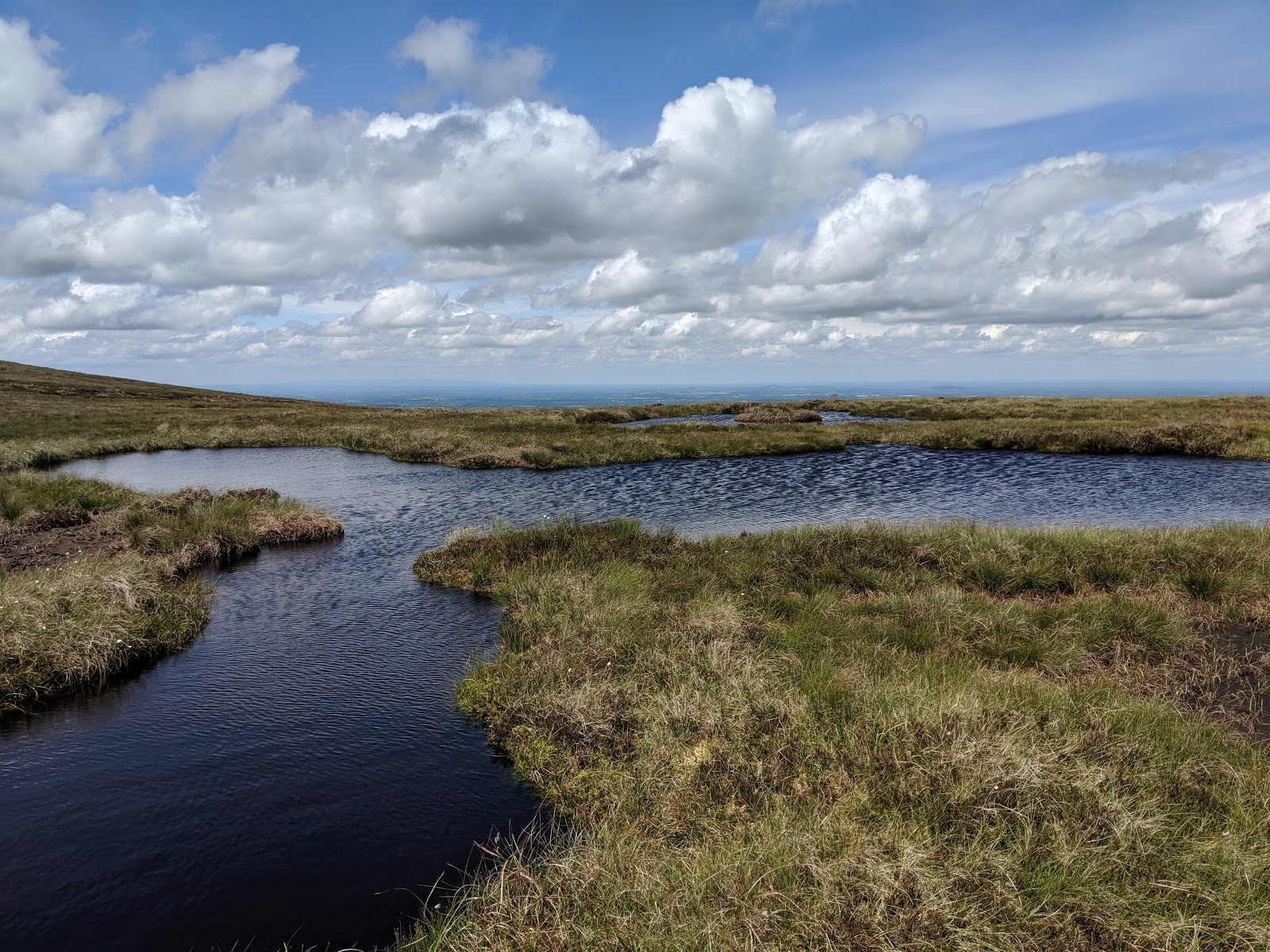
The road up to Sorrel Hill pass

The route was along the road to Lacken where I turned hard right up the road to the car-park at the Sorrel Hill pass.  The car-park was within cloud cover and yet, to my surprise, three vehicles were parked there. I followed the turf track up the the summit and met two families on the way - a boy looked at my feet and informed me that it got awfully rough up there - another guy, looking at my clothes and lack of footwear, said I should be locked up, and I agreed wholeheartedly with him.

The summit is marked with a post where I turned right hoping to find the "green road" - my raison d'etre. In fact there was a well worn path down to it from the summit so I hardly needed GPS.

And I hardly need add that the particular "cloud cover" I had entered was the sort that precipitates fairly heavily and so in quite a short while my clothes, such as they were, were sodden and I was getting cold. The only remedy for cold on a run is to keep going and, if possible, to increase one's pace.

The WWII memorial

The green road is quite remarkable. I must go there again in better weather. For the most part it really is green and wide enough for a quad, and in this weather it was most wonderfully slippery so I caught myself slipping or falling several times in my eagerness for speed to keep warm. Warm, I hasten to add, is a very relative term.  What the road was created for I have no idea.

Part way down I noticed this strange standing stone just off the path to the left, but I was too cold to investigate. My picture is blurry because the camera lens was wet, along with everything else. On getting back and googling I discovered it was a memorial to a WWII plane that crashed here on the night of 16th April 1941.

The green road

According to certain maps the green road terminates at the place that, from the road up to the Sorrel hill car-park, looks like the hermit's enclosure in The Horse and his Boy.  My family will know what I mean.  But whoever owns this sacred place obviously did not like hikers emerging from Black Hill so the bottom third has been re-routed to "Pound lane" - there is a big sign announcing this change.  That last third is even steeper and was even more slippery in today's conditions.

I had expected of course to break through the cloud cover and emerge in the dry. But that was not to be - the whole way back was in mist and constant rain. Not much more than drizzle by the time I reached the road but even drizzle is sufficient to keep already sodden clothing sodden and cold.

For the last quarter of my run my imagination was filled with thoughts of soaking for hours in a hot, steamy bath, Harfang style. Alas, when I got back and finally dragged myself upstairs, I found the bath full of grandchildren but, fortunately, we have just upgraded what was once the "best shower in Europe" and it is now a power shower which pretty well equals soaking in a bath.

Detail showing Black Hill and the green road

Statistics: total distance 18.6 miles (possibly my longest - which explains why I am feeling stiff!), max height 605m, average speed moving 5.34 mph.

The whole track