Showing posts with label Uplowman. Show all posts

20210825

Bampton

Today's bike route was Planned!  The key is to make the forward journey harder and the return easier. Which I failed to do with the Tarka trial expedition. Google maps gives the elevation profile which helps the planning. And the return journey was wonderful instead of being gruelling!


Outward journey to Bampton via main roads

Return journey via side roads, mostly downhill

My track 27 miles 476m elevation gain


A duck race?  

20210809

Two satisfying Willand runs

Running barefoot through grassy meadows is hard to beat, and my first run this session satisfied. Through my favourite Culm river water meadows from Culmstock to Uffculme, just under 12 miles including getting there and back.

Culm water meadows

My second entailed running barefoot through grassy meadows in summer rain and getting soaked, an experience which is even harder to beat. The grassy bit started and finished in Uplowman (at bottom left in my map), going north past "Wood" to "Murley Farm" then south-east over the hill "Gulmoor" to Whitnage then heading west. Virtually all of this was through grassy meadows with not a soul about. Just under 13 miles including getting there and back.

Uplowman paths

At Whitnage I had intended to strike the road but could not find the right-of-way, so ended up returning west to Uplowman. From Lowman Cross (top left in next map) I headed home-ward south and over the major road A361 then took the footpath east to Sampford Peverell only to find it had been re-routed due to an "incident" over Connigar Hill where it joined the marked footpath above "Boobery" on the map. I desperately wanted to know what the "incident" entailed... From Stampford I took my usual route via Tiverton Parkway railway station back home.

Connigar Hill

Here are some photos

Inquisitive cows in Culm meadows

Near Murley Farm

View from summit near Gulmoor

Where the path was re-routed

From Connigar Hill

Stampford Peverell


20200612

The good and the not so good


OK, I know this will be boring unless you happen to like barefoot running and happen to be in the area and happen to want a route recommendation. Or maybe I should set up a public database of barefoot friendly footpaths.

Day 1, about 10 miles

My first foray on this trip to Devon was to explore some promising looking footpaths I had noted during our previous visit. But they turned out to be not so good - through recently strimmed brambles, fields sown with wheat, and inquisitive cows.

Day 2, another 10 miles

After a day's rest, the footpaths in my second foray were very good. The footpath part of the run is shown in the detail below.

Day 2 detail

It starts just north of the village of Uplowman (lower left of the map). The name sounds strange until you realise that Lowman is a river, and Uplowman is located in its upper reaches.


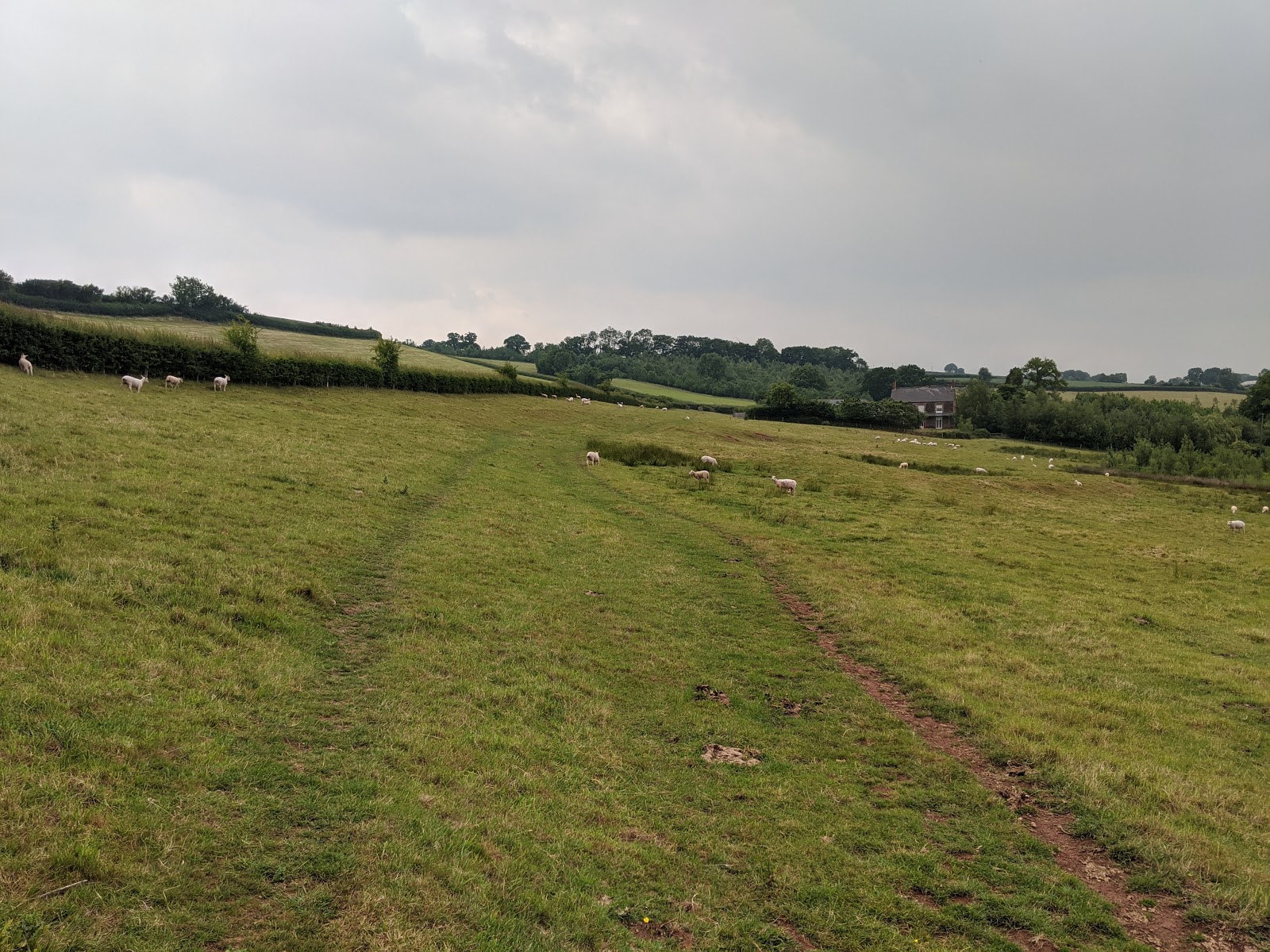
The path follows the river (technically a tributary to the Lowman, and just a brook) valley and is carpeted with soft meadow grass.  But about here it started to rain. Running in rain is very pleasurable provided one keeps warm - and I had checked that the forecast was OK in that respect.


By now it was raining steadily and I worried for my Pixel 2, as the plastic bag "sock" I had grabbed wasn't quite long enough to cover its entirety. But it survived.  At Murley farm I misread the map a bit (by now it was raining heavily, making it hard to read the map) but soon figured out my mistake.


Here I am looking back at the misty rain-sodden horizon as I climb out of the river valley towards Whitnage farm where again I lost my bearings (by now the rain was sluicing, so that I had to pause in the shelter of a barn to read my map). Those cows were content to leave me be, BTW. I decided to ignore the last planned footpath and get back home a.s.a.p. before dying of hypothermia.


Finally back along the Tiverton Parkway cycle track where I passed the 15:30 up train from Exeter to London Paddington. Thence back home to a shower and cuppa and later an excellent meal of risotto à la Instant Pot thankyou Ali!

Definitely worth repeating, both the meal and the run!

20160830

Uplowman and Tiverton Parkway


Track #2 - Uplowman - 16.56km

Up at 0600 on Saturday - once again not enough time for the beacon as we have visitors for lunch and much to get ready. The track for this and the previous and next barefoot runs were created by my Garmin Forerunner 15 but for guidance I also carry my Android running Oruxmaps with OS maps loaded courtesy of Mobac and, at Ali's suggestion, a cell-phone in case of disaster. It took the Android 50 minutes to get first fix - I think it doesn't like doing this whilst I am moving.

The route - the B road to Halberton where I turned right, crossing the A361 North Devon Relief road by a devious route in search of foot-paths. The only one I found was plagued by cows (I am slightly wary of cows, they have been known to kill hikers). The village of Uplowman because it is in the upper reaches of the river Lowman I suppose. Then back via Sampford Peverell.


Typical Devon lane near Sampford Peverell

This photo is especially for my American viewers who might be scared driving along such a typical Devon back-road, one car wide with high hedgerows either side!

Tiverton Parkway

I just happened upon two trains as I crossed the foot-bridge at Tiverton Parkway station. And then home along the bicycle corridor created in part reparation for having moved the station from Willand to this odd location miles from anywhere.