Being, I think, up to date on jobs around the place I thought I would go walk-about, where no man has gone before. At least not this man.
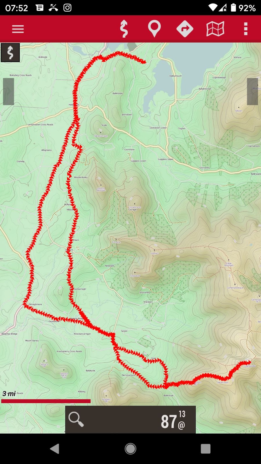
Track statistics: 21.84 miles, elevation gain 1102m, barefoot of course. My average speed was a mere 4.23 mph because I was walking for about half the time. I followed my usual route to the Donard pass, thence to Lobawn, returning via the village of Donard and through Hollywood Glen.
 |
| My favourite colour |
 |
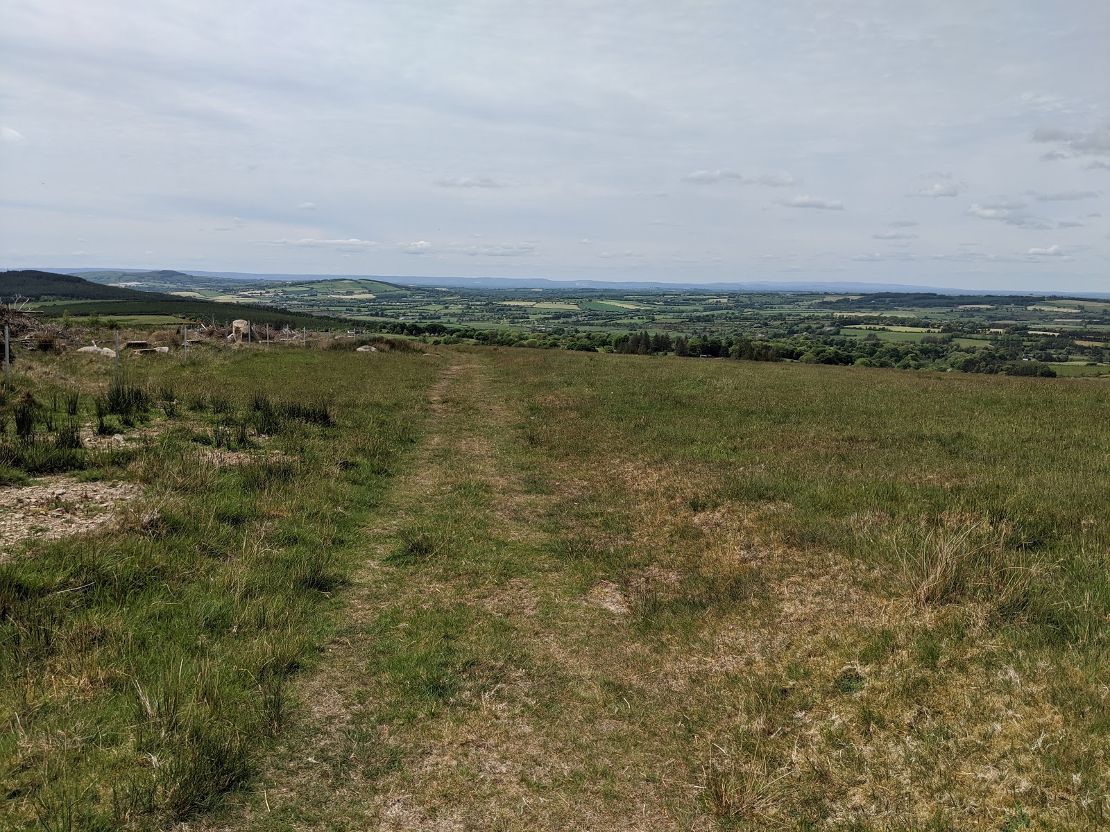
| My path, with Lobawn on the horizon centre |
 |
| Summit marker: a British army war department granite pillar |
How and why a war department granite pillar ended up atop Lobawn I have not yet discovered but it is a kind of friendly touch on finally arriving at the summit. I stood on it to take photos and it wobbled so I figure it can't be planted very deeply.
I can recommend the mountain part of this route - all very barefoot friendly, no long grass where lurk ticks, and glorious weather. At the summit I ate my Cadbury's caramel egg and then lay naked on the warm peat gazing upwards at a mostly blue sky. The descent was glorious too - an easy to follow path that turned into an amazing green road so was able to run most of the way down.
Lugnaquilla, the highest peak in the Wicklows, is alluringly further along this path that joins numerous peaks on the way.
 |
| From the summit: the path onwards to Lugnaquilla |
 |
| From the summit: my path to and from |
 |
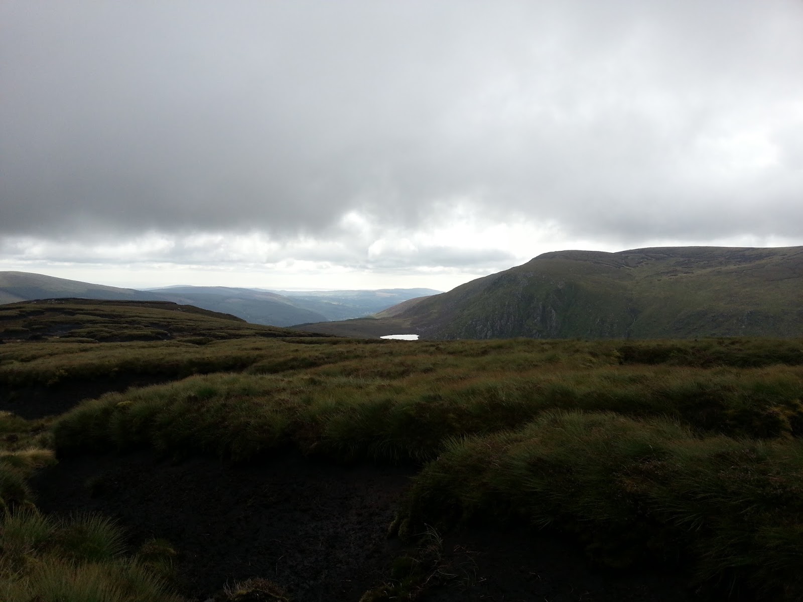
| From the summit: our lake |
 |
| Descent |
 |
| The green road |
 |
| Which turned into a gritty lane |
 |
| And ended in Donard - I had no money... |
 |
| Leaving the metropolis |
 |
| Holywood Glen |
 |
| May blossom, along St Kevin's way |
May blossom always reminds me of
my father - his birthday was in the month of May and each year we would wonder if his birthday would come before or after the first blossom. If you look carefully you'll see the iconic statue of Saint Kevin just to the right of the tree. Click on the image to expand.